Ground-level weather stations provide a two-dimensional illusion of safety. Surface metrics like barometric pressure, ambient temperature, and wind vectors capture the boundary layer, but they remain profoundly blind to the thermodynamic engine operating miles above. Severe summer storms do not hatch at ground level; they are the downstream consequence of mid-tropospheric instability, steep lapse rates, and vertical wind shear.
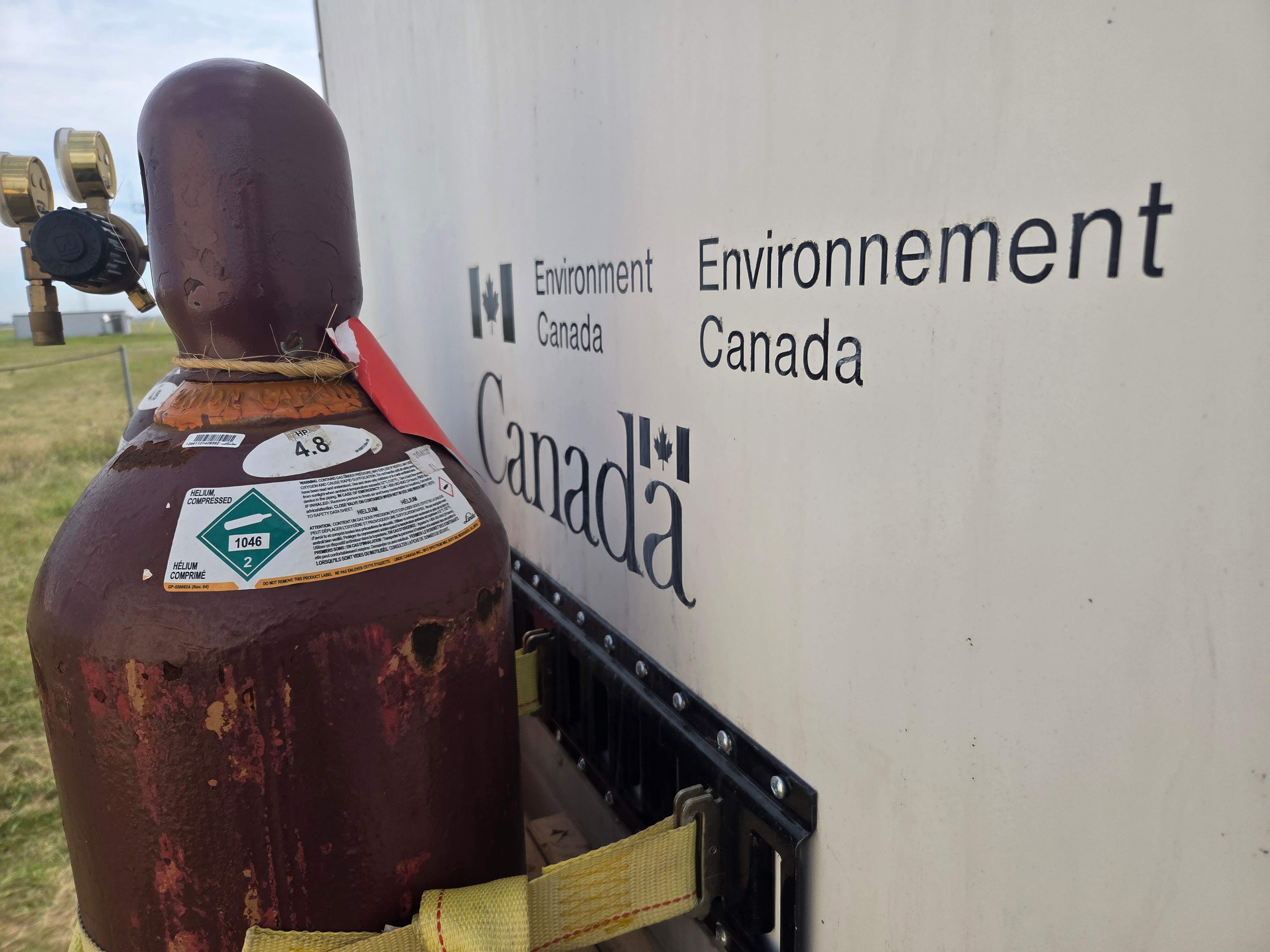
When Environment Canada deployed its seasonal Upper Air Program pilot project in Saskatoon, the agency was not merely launching latex balloons filled with helium or hydrogen; it was actively patching a structural data void in the Canadian Prairies. For decades, Saskatchewan existed in a regional observation blind spot, relying on distant sounding stations in Alberta and Manitoba. Deconstructing this initiative reveals the mechanics of vertical atmospheric profiling, the economic cost of missing data, and the operational constraints of modern meteorological forecasting.
The Architecture of Vertical Profiling
Surface radar and automated surface observation systems track horizontal phenomena, but they fail to establish the vertical gradients required for deep convective initiation. A standard weather balloon launch initiates a two-hour ascent through the troposphere, carrying a lightweight instrumentation package known as a radiosonde.
As the balloon expands due to decreasing ambient pressure and eventually bursts at altitudes exceeding twenty miles, the radiosonde continuously transmits a high-resolution vertical transect. This data stream measures three primary variables across changing elevations:
- Dry and Dewpoint Temperature: Quantifies environmental lapse rates, exposing conditional instability where a parcel of air, if forced upward, will become warmer than its surroundings and accelerate autonomously.
- Relative Humidity: Maps moisture stratification through the column, identifying dry layers that enhance downdraft potential via evaporative cooling.
- Pressure and Geopotential Height: Establishes mass distribution and thickness fields, illuminating upper-level troughs and ridges that steer surface pressure systems.
Without these vertical profiles, numerical weather prediction models must rely on interpolation and historical parameterizations. Interpolation over a geographic expanse the size of Saskatchewan introduces profound error margins. When a convective storm feeds on moisture convergence and wind shear, a model initialized with interpolated data rather than empirical soundings will miscalculate convective available potential energy.
The Cost Function of Data Gaps
Meteorological forecasting operates under strict economic constraints. Observational infrastructure requires capital expenditure and ongoing operational maintenance. Permanent upper-air stations require dedicated facilities, hazardous gas handling protocols for hydrogen or expensive helium procurement, and technical staff for daily releases.
Consequently, sparse networks represent a calculated risk. Meteorologists balance the cost of maintaining dense radiosonde networks against the economic damage inflicted by unpredicted severe weather. In regions lacking local soundings, forecast uncertainty manifests in two distinct failure modes:
- Type One Errors False Alarms: Broad, precautionary severe thunderstorm watches that cover massive geographic zones because forecasters cannot isolate which specific cells possess the necessary thermodynamic support. This erodes public compliance and response readiness.
- Type Two Errors Missed Hazards: Sudden convective blowups that produce destructive straight-line winds, large hail, or unheralded tornadoes because the localized capping inversion or moisture pooling went undetected until radar echoes erupted.
The Saskatoon summer pilot project functions as an empirical test to evaluate whether closing this provincial data gap materially narrows error variance. By capturing localized morning atmospheric states, forecasters determine whether the atmosphere possesses the ingredients for torrential downpours or lightning capable of igniting boreal wildfires long before initiation occurs.
Operational Mechanics and Physical Constraints
The logistics of upper-air observation are governed by strict physical and material limitations. The radiosonde relies on battery power designed to last through the ascent and descent phases, transmitting data via radio frequencies back to ground-station tracking antennas.
The structural lifespan of the sounding is finite. As the latex envelope ascends, atmospheric pressure drops exponentially, causing the balloon to expand from a diameter of roughly six feet to over thirty feet before structural failure occurs. The resulting descent relies on a small parachute or the shredded remnants of the envelope, though the payload is rarely recovered or reused.
Furthermore, temporal resolution remains a persistent bottleneck. Standard international sounding protocols dictate launches every twelve hours at 00:00 and 12:00 UTC. A single daily or seasonal summer pilot provides a snapshot, but it cannot capture rapid mesoscale evolution occurring between observation windows. Rapidly developing summer convective setups require continuous or targeted adaptive soundings to track boiling instability profiles during peak solar heating.
Strategic Operational Forecast
The transition from seasonal pilot projects to permanent upper-air infrastructure in Saskatchewan depends on quantifiable improvements in lead-time accuracy and false-alarm mitigation. Numerical models ingest radiosonde data to reset their initial conditions, effectively scrubbing accumulated errors from preceding forecast cycles.
As automated remote sensing technologies such as microwave radiometers and wind profilers advance, they offer complementary high-frequency data streams, yet they cannot yet replicate the precise thermodynamic depth of a physical balloon sounding. Expanding the permanent upper-air network across the Canadian interior transforms predictive modeling from a reactive tracking exercise into a precise forecasting discipline, shifting the operational baseline from damage assessment to proactive risk mitigation.