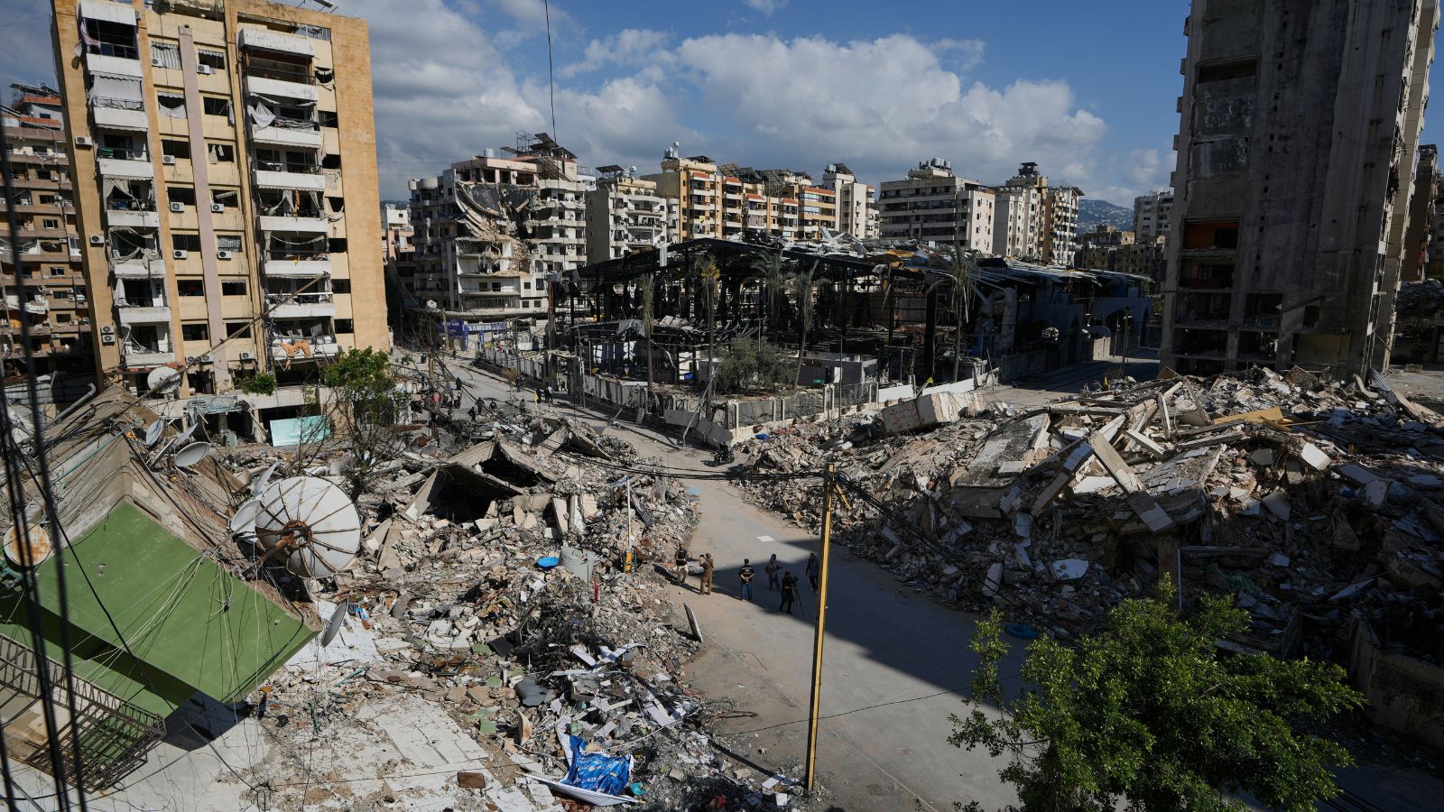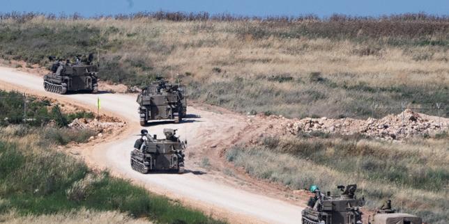
The headlines scream with an engineered sense of finality. A military spokesperson draws a red line on a map, declares an entire region south of a specific river a combat zone, and the global media apparatus collectively nods, rushing to file updates about the shifting theater of war. They treat the announcement like a hard physical barrier. They treat geography like destiny.
They are entirely wrong.
When the Israeli military designates the zone south of the Zahrani River in Lebanon as an active combat zone, mainstream analysis predictably falls into a lazy consensus. The narrative frames this as a traditional, linear escalation—a sequential push outward from the border designed to create a buffer zone. Analysts sit in television studios pointing at maps, calculating distances from the Litani to the Zahrani, assuming modern warfare operates like a game of Risk.
This conventional view misses the fundamental shift in asymmetric warfare. Lines on a map are a bureaucratic fiction designed for conventional armies, yet we continue to analyze modern conflicts through the outdated lens of twentieth-century territorial conquest.
The River Illusion and the Myth of Linear Containment
Mainstream reporting obsesses over geographical markers because they are easy to visualize. A river provides a clean line for a graphic designer to highlight on a broadcast segment. But treating a river line as a strategic milestone fundamentally misinterprets the operational reality on the ground.
In asymmetric conflict, drawing a line across a map does not contain an adversary; it merely redefines the coordinates of the friction point. I have watched military analysts spend decades tracking troop movements based on static perimeters, only to wonder why non-state actors continue to operate seamlessly behind those very lines. The assumption that declaring a combat zone establishes control or creates a vacuum is a persistent, dangerous fallacy.
Consider the mechanics of modern decentralized insurgencies. They do not rely on massed logistical supply chains that can be severed by a conventional line of control. They operate via subterranean infrastructure, decentralized command nodes, and localized munitions production. When an army declares everything south of a specific river a combat zone, they are not choking off an enemy; they are announcing a shift in their own target acquisition parameters. It is an administrative designation for rules of engagement, not a physical wall.
The Flawed Premise of the Buffer Zone
The media frequently asks variations of the same flawed question: "Will expanding the combat zone secure the northern border?"
This question is built on a broken premise. It assumes that security is a function of distance. In an era dominated by precision-guided munitions, long-range unmanned aerial vehicles, and localized rocket manufacturing, the concept of a geographical buffer zone is increasingly obsolete.
Imagine a scenario where an army successfully clears every visible piece of military infrastructure from a twenty-kilometer strip of land. In the 1980s, that created a functional shield against cross-border raids and short-range artillery. Today, that same cleared space is easily bypassed by loitering munitions launched from deep within the interior, or subterranean networks that remain undetected despite intensive aerial bombardment.
By focusing entirely on the physical footprint south of the Zahrani River, observers ignore the true center of gravity: the political, financial, and technological supply chains that feed the conflict from hundreds of miles away. You cannot bomb a supply chain that exists in digital bank accounts and decentralized manufacturing labs scattered across an entire region.
The Cost of the Conventional Mindset
The downside of challenging this conventional geographical framework is that it offers no easy answers or clean resolutions. It is far more comforting to believe that reaching a specific river or clearing a specific valley will signal the end of a campaign. Acknowledging that lines on a map are largely irrelevant means accepting that modern asymmetric conflicts are fluid, protracted, and inherently resistant to traditional military conclusions.
When an army expands its combat zone, it also expands its logistical vulnerabilities and its political exposure. Securing territory requires a massive expenditure of resources, manpower, and political capital. The counter-intuitive truth of modern warfare is that holding ground can often weaken a conventional military more than it degrades a decentralized opponent. The occupying force becomes a static target for an adversary that thrives on asymmetric friction.
Dismantling the Punditry
Look closely at the data points that standard reporting ignores:
- Infrastructure Depth: The depth of modern defensive networks is measured in vertical layers (subterranean) and digital networks, not horizontal kilometers on a map.
- Asymmetric Mobility: Non-state actors do not retreat across rivers in orderly formations; they dissolve into the local population and reconstitute where the conventional force is weakest.
- The Media Variable: Bureaucratic military declarations are often aimed at international diplomatic audiences or domestic political constituencies rather than the adversary on the ground.
Stop looking at the red lines drawn on news broadcasts. Stop assuming that reaching a river changes the fundamental math of a kinetic stalemate. The real conflict isn't happening on the grid coordinates provided in daily military briefings, and it certainly won't be settled by drawing a line in the dirt.