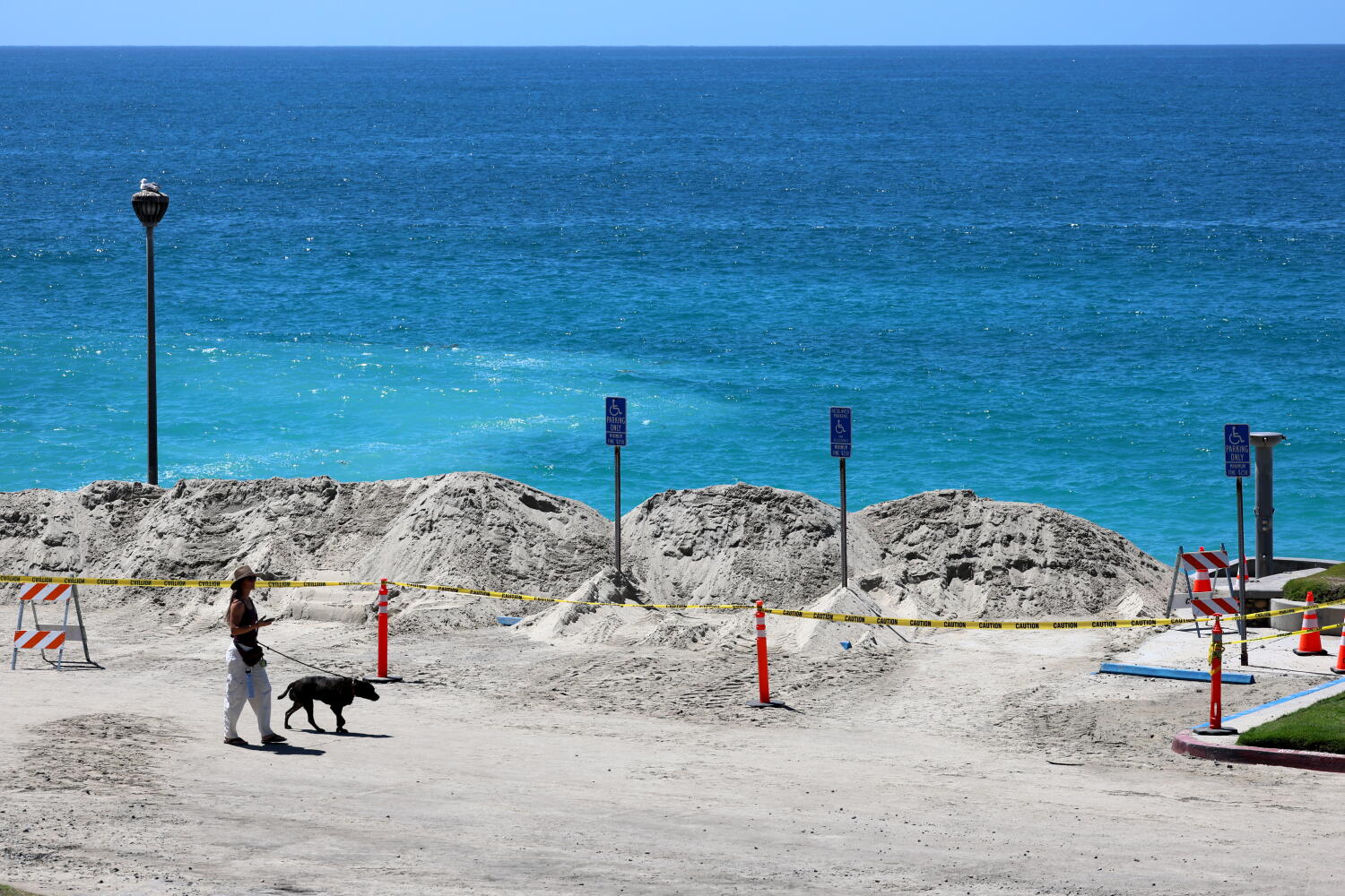
Southern California residents often assume that a storm tracking hundreds of miles offshore poses zero threat to coastal communities. That assumption is mathematically wrong and historically dangerous. Even when a system like Hurricane Marie charts a path well away from Los Angeles, the physics of ocean swells dictate that local beaches will still absorb severe punishment. Distance from the center of a tropical cyclone does not mean immunity from its generated energy.
For decades, coastal management along the Pacific Rim has struggled with public communication during offshore weather events. People look at a forecast map, see a red tracking line curving safely out to sea, and cancel their evacuation plans or ignore hazard warnings. They head down to the shoreline to catch a glimpse of the spectacle. That impulse routinely turns tragic. The ocean does not need to make landfall to kill you. If you enjoyed this post, you might want to check out: this related article.
The Mechanics of Distant Swell Generation
Tropical cyclones are essentially massive atmospheric engines. They churn massive volumes of water through sustained winds that blow across thousands of square miles of open ocean. When a storm intensifies, it transfers immense kinetic energy directly into the water surface. This process creates long-period swells.
Unlike the choppy, high-frequency waves whipped up by local afternoon breezes, long-period swells carry energy deep beneath the surface. These wave trains can travel thousands of miles across the Pacific basin with minimal loss of power. By the time energy from an offshore hurricane reaches the continental shelf off Los Angeles or Orange County, the storm itself might be spinning harmlessly over cold northern waters or dissipating entirely. For another angle on this event, see the latest update from USA Today.
The water remembers the storm long after the meteorologists have stopped tracking it. When these organized swells hit the sudden shallow water of the continental shelf, they undergo a dramatic transformation. Friction slows the base of the wave while the crest surges forward. The result is a series of sneaker waves and massive shorebreak that catches beachgoers entirely off guard.
Why Local Geography Amplifies the Danger
Southern California does not feature a uniform coastline. The topography of the ocean floor creates specific vulnerability zones that amplify incoming energy from the south and southwest. When an offshore hurricane tracks north along the Baja California peninsula, it sends energy directly into this window.
Submarine canyons, such as those off Newport Beach or Redondo Beach, act like acoustic lenses. They focus and refract wave energy, concentrating it onto specific stretches of sand. A beach three miles north might experience manageable surf, while an adjacent stretch faces catastrophic erosion and flooding.
- Bathymetry matters more than distance: Shallow reefs and underwater canyons dictate wave height far more than the proximity of the storm's eye.
- Tidal alignment compounds risk: When a high astronomical tide coincides with the arrival of a long-period southern swell, coastal infrastructure takes a direct hit.
- Rip currents turn invisible: The sheer volume of water pushed ashore must escape back to sea, creating lethal rip currents in areas normally considered safe for swimming.
The Failure of Municipal Warning Systems
Emergency management agencies face a persistent communication hurdle. It is remarkably difficult to convince the public to stay away from the beach on a sunny, warm August afternoon when the sky overhead is completely blue. When the threat is invisible and distant, standard emergency alerts lose their urgency.
Lifeguard divisions across Los Angeles and Ventura counties routinely report massive spikes in rescues during distant hurricane events. Swimmers underestimate the undertow. Photographers step too close to the wrack line and get swept off rocks by rogue surges. Municipalities often respond reactively, closing piers and stringing up caution tape only after multiple people have been dragged into the surf.
Infrastructure planning compounds the vulnerability. Parking lots, coastal bike paths, and Pacific Coast Highway itself sit precariously at sea level. When sustained wave action pounds these corridors, asphalt cracks, revetments fail, and emergency services are forced to divert resources to manage flooded roadways.
Living With the Pacific Risk
We treat extreme coastal weather as an anomaly, an episodic event to be documented on social media and forgotten until the next iteration arrives. That mindset is obsolete. Sea surface temperatures continue to shift, altering the genesis points and typical tracks of eastern Pacific tropical systems.
Understanding these dynamics requires looking past the simple geography of a weather map. The real hazard is not where the storm is right now. The hazard is the continuous, invisible transfer of kinetic energy traveling thousands of feet beneath the surface of the sea, waiting to unload its fury on an unsuspecting shoreline.