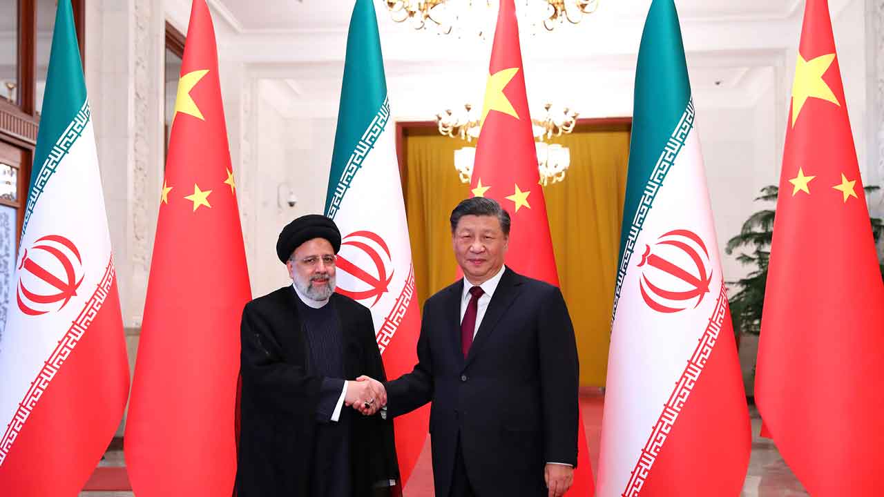
The days of the US having a monopoly on high-res "eyes in the sky" are officially over. A recent Financial Times report just confirmed what many in the intelligence community feared. Iran’s Islamic Revolutionary Guard Corps (IRGC) isn't just relying on its own shaky space program anymore. They've gone shopping in Beijing.
By secretly acquiring a Chinese-built satellite known as TEE-01B, Tehran has basically bought a front-row seat to every move the US makes in the Middle East. This isn't just about taking pretty pictures of the desert. It’s about a massive jump in "kill chain" efficiency. If you can see an F-15 on a runway in Saudi Arabia with half-meter resolution, you can hit it.
The TEE-01B and the end of Iranian blindness
For years, Iran’s domestic satellites like the Noor-3 were, honestly, pretty mediocre. We're talking about 5-meter resolution at best. At that level, you can see a building, but you can’t tell if a specific hangar is empty or housing a billion dollars' worth of stealth jets.
The TEE-01B changed the math in late 2024. This satellite provides 0.5-meter resolution. That’s sharp enough to identify individual vehicles, fuel trucks, and aircraft types. According to leaked IRGC documents, the Aerospace Force didn't just buy the hardware; they bought the whole ecosystem.
- Cost: Roughly Rmb250 million (about $36.6 million).
- Resolution: 0.5 meters (10x better than previous Iranian tech).
- Provider: A Chinese firm called Earth Eye Co.
- The Loophole: It was sold as an "in-orbit delivery." The satellite was already in space when the ownership transferred.
This "in-orbit delivery" model is clever. It bypasses many of the traditional red flags that pop up during a physical hardware export. China can claim they’re just supporting a "Belt and Road" partner with commercial data, while the IRGC is actually using it to plot missile trajectories.
How the IRGC used Chinese tech to guide strikes
The most damning part of the FT investigation is the timing. Leaked logs show the satellite was tasked to monitor Prince Sultan Air Base in Saudi Arabia on March 13, 14, and 15, 2026. On March 14, US President Donald Trump confirmed that American aircraft at that very base had been hit.
It's not a coincidence. This is Battle Damage Assessment (BDA) in real-time.
The IRGC used the TEE-01B to peek at the targets before the drones launched and then checked the "after" photos to see if they needed to fire again. It’s a professional military workflow that Iran simply didn't have the tech to pull off on its own. They also tracked Muwaffaq Salti Air Base in Jordan and the US Fifth Fleet in Bahrain. If you’re a US commander in the region, you have to assume you’re being watched 24/7 by a Chinese lens.
The Emposat connection and the sanctuary of Chinese soil
You might think the US or Israel could just jam the satellite or blow up the ground stations. That's where it gets complicated.
As part of the deal, the IRGC got access to ground stations operated by Emposat, a Beijing-based company. These stations aren't in Tehran. They’re scattered across Asia and Latin America. More importantly, the core infrastructure is in China.
The US can’t exactly bomb a satellite control center in Beijing without starting World War III. By outsourcing their "space brain" to China, the IRGC has created a sanctuary for their intelligence operations. Even if Israel wipes out the Iranian Space Agency's domestic labs—which they've tried—the IRGC just logs into a Chinese server and keeps downloading high-res photos of US bases.
Why this matters for the 2026 security landscape
This isn't just an Iran problem. It’s a "commercialization of warfare" problem.
- Plausible Deniability: Beijing keeps saying these reports are "fabricated" and that they don't provide military aid. Technically, they're selling "commercial agricultural monitoring" services.
- Asymmetric Risk: A $36 million satellite just helped damage aircraft worth hundreds of millions. That’s a return on investment any military would take.
- The New Axis: We’re seeing a tightening tech loop between China, Russia, and Iran. Russia launches the rockets, China provides the high-end sensors, and Iran provides the "boots on the ground" (and the drones).
What the US does next
The White House is in a tough spot. You can't really "sanction" a satellite that's already in orbit and controlled from within China. The current administration has hinted at "big problems" for China if they keep this up, but so far, it’s mostly talk.
If you're managing security for high-value assets in the Middle East, you've got to stop assuming your movements are private. The "grey zone" of commercial space tech is now a front line.
Keep an eye on the upcoming Treasury reports. If the US moves to blackball Emposat or Earth Eye Co from the global financial system, it might slow the data flow. But honestly? The data is already moving. The IRGC has the keys to the kingdom, and they aren't giving them back.
If you're following regional security, the next step is watching how the US upgrades its "masking" and electronic warfare at these bases. If you can’t hide from the camera, you have to make the camera see something that isn't there.