Geography is a hallucination.
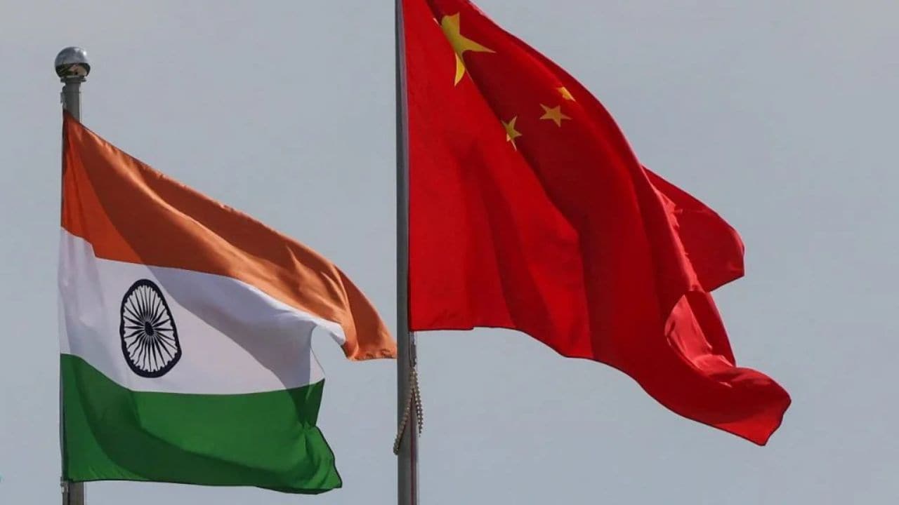
Governments treat lines on a map like physical laws, but the dirt doesn't care what you call it. The recent diplomatic skirmish—where China rebranded thirty locations in Arunachal Pradesh with "standardized" names and India responded with predictable, rehearsed outrage—is a masterclass in performative nationalism. It is a theater of the absurd where both sides pretend that changing a label on a digital file changes the reality of the Himalayas.
The competitor narrative is lazy. It frames this as a simple "baseless claim" versus "sovereign integrity." That’s a bedtime story for the politically naive. This isn't about history or linguistic accuracy. This is about strategic cartography—the use of maps as psychological munitions to shift the baseline of a multi-decade stalemate.
The Sovereignty Trap
India’s Ministry of External Affairs loves the phrase "Arunachal Pradesh was, is, and will always be an integral part of India." It’s a great line for a press release. It’s also a defensive crouch. When you have to repeat a fact that often, you aren't asserting strength; you’re acknowledging a vulnerability.
China isn't trying to convince India that Tawang is actually "Zangnan." They know India won't pack up and leave because of a PDF from Beijing. The goal is incremental normalization. By flooding international databases, search engines, and academic papers with their nomenclature, China creates a "dual reality." Fast forward twenty years, and a researcher in Stockholm or a student in Sao Paulo sees two sets of names for every mountain peak. The dispute becomes "legitimized" by the mere existence of the alias.
India’s mistake is playing the game on China's terms. Reacting to every name change with a "strong rejection" validates the provocation. It turns a unilateral clerical act into a bilateral diplomatic event.
The Infrastructure Blind Spot
While the pundits argue over vowels and consonants, they ignore the concrete. The real "map" is being written in asphalt and dual-use villages.
China’s strategy, often referred to as Salami Slicing, isn't a secret. It’s a deliberate, slow-motion annexation of the narrative. They build Xiaokang (moderately prosperous) villages right on the edge of the Line of Actual Control (LAC). These aren't just housing projects; they are human shields and sensor platforms.
India has finally started to wake up with the Vibrant Villages Programme, but it's playing catch-up against a rival that treats logistics as a religion. If you want to hold territory, you don't need a name; you need a road that doesn't wash away in the monsoon and a 5G tower that works.
The "lazy consensus" says this is a border dispute. It isn't. It’s a Logistics Race. The side that can move a mountain division faster wins, regardless of whether the mountain is called Sela Pass or something else.
The Myth of Historical Evidence
Both sides are guilty of weaponizing "history," which is the most malleable tool in the shed. China points to ancient administrative records; India points to the 1914 Simla Convention and the McMahon Line.
Let's be brutal: The McMahon Line was a colonial pencil stroke on a map with a scale so large that the thickness of the line represented several miles on the ground. It was drawn by men who had never walked the terrain, using data that was patchy at best.
To base 21st-century nuclear-armed brinkmanship on the sketches of British bureaucrats is a special kind of madness. History in this region is a choose-your-own-adventure novel. You can find a "record" to support almost any claim if you go back far enough or ignore enough inconvenient facts.
Stop asking "Who does this land belong to historically?" and start asking "Who can actually govern it today?"
The Tech Giants Are the New Arbiters
Here is the truth nobody in New Delhi or Beijing wants to admit: Google Maps has more influence over the perceived sovereignty of Arunachal Pradesh than the UN does.
When a tech company decides to show "disputed" borders as dotted lines or changes a name based on the user's IP address, they are the ones defining reality for the global population. China understands this. Their "fictitious names" are metadata seeds. They are meant to be crawled by bots, indexed by AI, and integrated into the digital infrastructure of the world.
If India wants to counter this, it shouldn't just issue statements. it should be dominating the digital record. Where are the high-definition, open-source mapping projects? Where is the aggressive SEO for the Indian names of these locations? If you aren't winning the search results, you are losing the territory.
The Cost of the Stalemate
Maintaining the status quo is expensive. India spends billions of dollars and thousands of lives keeping soldiers at 15,000 feet in sub-zero temperatures. This is a "Cold Peace" that drains resources from the very development that would make the region indisputably Indian.
The contrarian move? Stop the rhetoric.
- De-link the Name Game: Ignore the Chinese Ministry of Civil Affairs. When you respond, you give their "standards" oxygen. Let them call it whatever they want; it doesn't change the GPS coordinates of the Indian Army outposts.
- Economic Integration: The best way to secure a border is to make it an economic powerhouse. Arunachal Pradesh shouldn't be treated as a "sensitive border zone" with restricted access. It should be a global destination. Over-regulate the border, and you keep it a ghost town. Open it up, and you fill it with stakeholders who will defend it.
- The Himalayan Federation: Imagine a scenario where India, Bhutan, and Nepal create a unified mountain-development strategy that renders China’s bilateral bullying obsolete. By keeping the dispute strictly between India and China, Beijing can use its massive GDP as a lever. Multi-lateralize the mountain, and the leverage disappears.
Why the Current Approach Fails
The competitor article treats the Chinese name changes as a "baseless claim." This is a dangerous simplification. The claims aren't "baseless" in the mind of the claimant; they are based on a specific, long-term geopolitical objective: the exhaustion of the Indian state.
China wants India to spend its energy, political capital, and military budget on a 3,488 km border that can never be fully "secured" in the traditional sense. Every time India gets angry about a name on a map, Beijing wins a small psychological victory. They see they can still rattle the cage.
Stop Fighting Over Shadows
We are obsessed with the symbols of power while the substance of power is shifting. A map is a representation of intent, not a reflection of reality.
If India wants to protect its frontier, it needs to stop acting like a victim of "fictitious names." Sovereignty isn't granted by the recognition of your neighbor; it is maintained by the indifference to their fantasies.
The dirt remains. The mountains remain. The people living there don't care what a bureaucrat in Beijing calls their village. They care about schools, hospitals, and the ability to trade.
Build the schools. Build the hospitals. Build the roads.
Let the cartographers in Beijing play with their crayons. While they are busy renaming the peaks, ensure that every person living on those peaks feels the tangible benefit of being an Indian citizen. That is the only "standardization" that matters.
The rest is just ink.