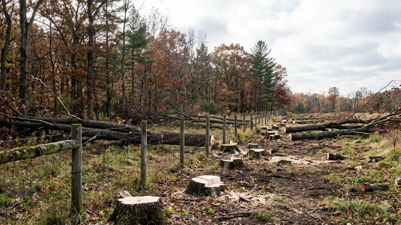
Property boundary disputes are rarely simple misunderstandings; they frequently represent calculated resource extraction where the perceived cost of litigation is weighed against the utility of expropriated land. When a Kansas court upheld a $6,500 damage award against a landowner who cleared 133 trees and pushed a staggering 70 feet onto a neighbor’s property, the ruling highlighted a fundamental structural flaw in how legal systems price timber theft and boundary trespassing. The core economic question is not merely what a mature tree is worth at commercial lumber rates, but how systemic undervaluation of ecological assets and delayed justice creates an asymmetric risk profile for encroachers.
The Cost Function of Encroachment
To understand why large-scale boundary violations occur, one must examine the variables driving an encroacher's optimization problem. An individual or commercial entity eyeing an adjacent parcel evaluates a clear cost-benefit matrix:
- The Expropriation Benefit: Immediate utility gained, whether through expanded agricultural acreage, unobstructed sightlines, aesthetic clearing, or reduced maintenance of a buffer zone.
- The Probability of Detection: The lag time between the physical alteration of the land and the legal recognition of the transgression. In rural or heavily wooded contexts, this latency can stretch for months or years.
- The Expected Liability: The statutory or common-law damages imposed if caught, discounted by the probability of enforcement and the time value of money during protracted litigation.
When legal frameworks rely strictly on timber stumpage value—the commercial market price of the wood as it stands uncut—the expected liability often falls well below the actual cost of restoration or the utility gained. Clear-cutting 70 feet deep across a boundary line requires heavy machinery, intentional planning, and significant labor. It is rarely an accident of a few inches or feet; it is a systematic deployment of capital to alter a landscape. Yet, judicial remedies frequently default to standard market valuations of the timber harvested rather than the ecological replacement cost, soil remediation, or loss of diminution in property value.
The Valuation Gap in Timber and Ecosystem Services
The friction in boundary dispute litigation stems from a deep disconnect between legal valuation metrics and ecological reality. Courts traditionally measure damages using one of three methodologies:
- Market Value / Stumpage Value: The commercial worth of the timber removed. This is the cheapest metric for a violator, treating a 50-year-old canopy tree as mere raw material.
- Replacement Value: The cost of purchasing, transporting, and planting equivalent mature specimens. This is rarely awarded in full because courts often deem it "disproportionate" to the total land value.
- Restoration or Remediation Cost: The expense required to return the property to its pre-trespass state, which for a mature forest ecosystem is virtually impossible within a human timeframe.
When a court issues a modest award like $6,500 for the wholesale destruction of 133 trees extending 70 feet onto private land, it inadvertently establishes a low pricing floor for unauthorized land conversion. If the market value of the land gained or the operational convenience achieved exceeds the judicial penalty, the legal system transforms from a deterrent into a compulsory licensing mechanism. The encroacher effectively pays a retroactive fee for land they desired, bypassing the consensual real estate market entirely.
Boundary Mechanics and Surveying Asymmetry
Physical encroachment relies heavily on information asymmetries. Property boundaries marked by historical fencing, natural vegetation lines, or weathered monuments are vulnerable to misinterpretation—or deliberate obfuscation.
- The Monument Decay Problem: Natural markers shift, fence lines migrate due to convenience or livestock management, and official plats often contain legacy surveying errors.
- The Burden of Proof: The aggrieved landowner bears the initial operational friction of discovering the intrusion, commissioning a certified boundary survey, hiring legal counsel, and enduring an adversarial discovery process.
This asymmetry creates a powerful deterrent against enforcement. For minor encroachments, the cost of a formal survey and legal representation frequently eclipses the recoverable damages. Violators exploit this threshold effect, pushing boundaries incrementally or executing large-scale alterations under the assumption that the victim will calculate that fighting back is economically irrational.
Strategic Asset Protection and Spatial Auditing
Mitigating the risk of intentional boundary exploitation requires shifting from passive ownership to active spatial governance. Property rights are only as robust as the owner's willingness to monitor and defend them.
Property owners must implement regular spatial audits utilizing modern geospatial tools, high-resolution aerial imagery, and periodic professional boundary verification, particularly in rural or semi-rural contexts where visibility is low. Establishing clear, highly visible boundary markers and documented perimeter controls changes the informational landscape, removing plausible deniability for any subsequent trespasser. Furthermore, legislative reform that mandates statutory treble damages for willful timber destruction—coupled with mandatory remediation orders rather than mere financial payouts—is essential to recalibrate the risk matrix against unauthorized land seizure.
Deploy capital toward preemptive boundary defense and rigorous legal documentation to ensure that any calculated intrusion carries a cost profile that makes expropriation mathematically unviable.