Back-to-back named cyclones do not merely double the bad weather; they compress recovery windows below the threshold required to reset physical and operational defenses. When the Met Office named Storm Boelo on October 22, 2026—just days after naming Storm Austen for the opening of the 2026–27 season—standard coverage treated the event as a simple headline count. Counting storms misses the mechanics that actually drive risk: sequential loading, spatial rotation across regions, and the lag between meteorological alerts and human or infrastructure adaptation.
This analysis deconstructs how sequential storm warnings operate in the United Kingdom, separates verified forecast mechanics from operational hypotheses, and lays out a decision framework for managing overlapping wind and rain threats.
What Standard Storm Coverage Misses
Typical storm reporting relies on a flat chronological list: name, peak gust speed, warning color, and a bulleted list of advice to charge phones or check train times. That structure treats each low-pressure system as an isolated shock hitting a clean slate.
In practice, back-to-back systems fail standard reporting in three ways:
- Static baselines: A forecast of 50 to 60 mph gusts on dry, intact infrastructure carries a different risk profile than the same wind speed arriving after heavy rain has saturated soil or after an earlier system has loosened roof tiles and branches.
- Spatial shift confusion: A second system does not always re-hit the exact same footprint. During the late-October 2026 sequence, Storm Austen targeted southern and southwestern areas while Storm Boelo was forecast to push strong westerly winds and heavy rain across Northern Ireland, Scotland, and northern England. Headlines compressed to "second storm in 24 hours" risk making residents in one region tune out warnings meant for another, or misread which window applies to their corridor.
- Attention fatigue: Naming two systems in rapid succession raises the risk of alert desensitization if households or logistics planners treat the second name as a repeat of the first rather than a distinct pressure track and timing schedule.
The Three Pillars of Sequential Storm Risk
To move from headline tracking to operational readiness, severe weather events should be evaluated across three structural dimensions: Impact-First Triggering, Cumulative Load Coupling, and Lead-Time Elasticity.
Impact-First Triggering
Met Office storm naming is impact-led rather than purely meteorological. A system earns a name when forecasters judge that medium-impact or high-impact weather—typically driven by strong winds, with heavy rain or snow factored in alongside flood agencies such as the Environment Agency, SEPA, and Natural Resources Wales—warrants a single, recognizable label to coordinate public and institutional action.
Knowing that naming is an impact signal rather than a fixed wind-speed threshold changes how you read an alert. Two named storms can have different tracks, gust profiles, and rainfall intensities while both crossing the threshold for public disruption. The name is a communication anchor, not a complete specification of hazard severity.
Cumulative Load Coupling
In structural engineering and hydrology, sequential stresses interact rather than simply adding up. A first storm can degrade margin before a second arrives:
- Ground saturation: Heavy rainfall lowers soil infiltration capacity and raises water tables, reducing root anchorage for trees and increasing surface runoff when a second front arrives.
- Marginal structural wear: Loose cladding, partially damaged fencing, or stressed overhead lines require lower wind speeds to fail on the second pass than on an undamaged baseline.
- Maintenance queue compression: Field crews repairing faults from an earlier system face competing tickets across transport, power, and telecommunications, lengthening restoration times when new faults open.
Whether cumulative load coupling occurs in a specific town or supply chain during back-to-back storms is a structural hypothesis to test against local conditions, not an automatic certainty. If Storm Austen's core impacts stay in the south while Storm Boelo concentrates severe winds in northern Britain, physical overlap in any single county is lower than if the same corridor takes consecutive hits.
Lead-Time Elasticity
Forecasts at a two- to three-day horizon provide high value for reversible decisions—rescheduling non-urgent travel, shifting outdoor work, or pre-staging equipment—while exact track and peak-gust timing remain subject to refinement as the low-pressure system approaches.
Post-storm survey data from the Met Office on Storm Goretti in January 2026 illustrates how high awareness and action can be within amber warning zones (93% awareness and 88% taking protective action in that survey). The operational bottleneck is rarely whether people hear a storm exists; it is matching the reversibility of a decision to the uncertainty window of the forecast. Locking in irreversible cancellations too early wastes capacity if a track shifts, while waiting until peak gusts arrive forfeits safe transit windows.
Known Facts vs. Working Hypotheses
Rigorous planning requires separating verified system facts from situational assumptions:
- Known meteorological and naming mechanics: The Met Office names storms in partnership with Met Éireann and KNMI for the season running from early September through late August, focusing on expected impacts from wind, rain, or snow to help agencies and the public coordinate warnings. Official storm names are pre-assigned for the season rather than invented on the fly.
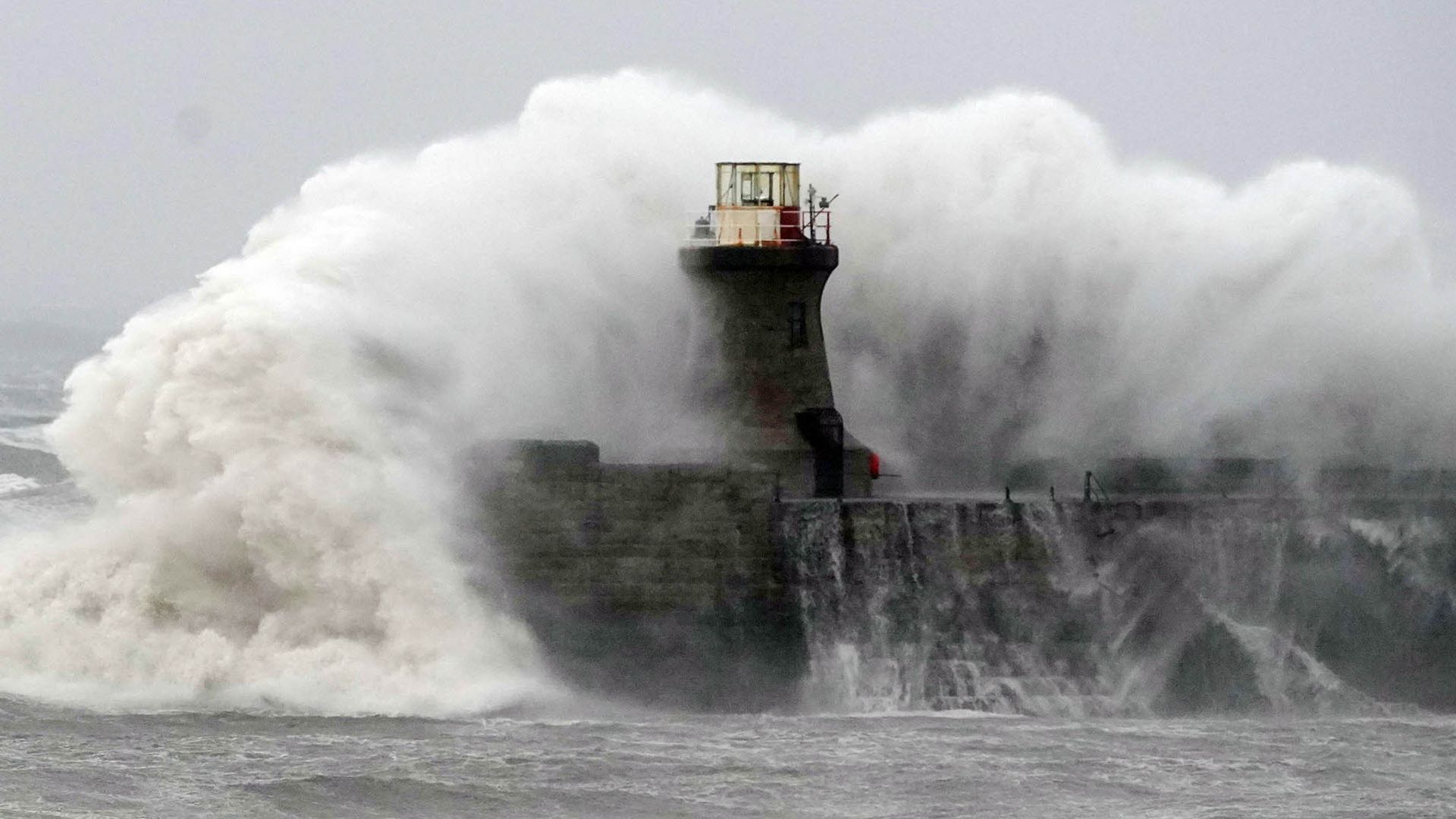
- Known vulnerability channels: Severe wind and heavy rain warnings routinely flag risks of flying debris, large coastal waves, power cuts, secondary telecoms disruption, and road, rail, ferry, or air delays.
- Educated hypotheses during multi-storm sequences: When two systems are named within days, analysts should hypothesize elevated regional confusion over which area faces peak gusts and longer fault-clearance queues if warnings span multiple regions simultaneously. Neither hypothesis should be treated as guaranteed everywhere until local warning polygons and real-time observations confirm overlap.
Tactical Execution When Back-to-Back Storms Are Named
Replace generic "prepare for bad weather" checklists with a time-phased operating sequence tied to forecast confidence and operational reversibility.
Step 1: Map Warning Polygons Against Assets and Routes
Do not read "second storm in the UK" as a national uniform threat. Overlay the exact Met Office yellow and amber warning regions onto your actual exposure: home or site location, commute or freight corridors, coastal cliffs or exposed piers, and critical power or connectivity dependencies. Separate assets inside active warning zones from those outside.
Step 2: Sequence Reversible Actions Before Irreversible Commitments
At 48 to 72 hours out, execute low-regret, reversible steps: secure loose outdoor items, confirm backup lighting and battery power banks, review flexible travel terms, and verify contingency routing. Hold irreversible hard stops—such as canceling fixed commitments or committing crews to long-haul detours—until closer to the onset window when track and timing confidence tightens, unless safety thresholds are already breached.
Step 3: Build a Post-Pass Inspection Gate
When a storm system clears one area while another approaches or lingers, treat the transition as an inspection gate rather than a return to normal. Check for fallen branches, blocked drainage, roof or fencing shifts, and local power or mobile service degradation before resuming routine movement.
Step 4: Account for Strategy Limitations
No warning framework eliminates forecast uncertainty or local micro-variability. Topographical channeling, coastal exposure, and sudden convective gusts can produce sharp local impacts even inside broader yellow warning areas, while forecast tracks can shift hours before landfall. Over-indexing on a single headline number—such as a headline gust figure—creates blind spots around rainfall flooding, coastal wave run-up, and cascading utility outages.
Strategic Play for Multi-Storm Seasons
Build an Impact-Window Playbook organized by hours-to-impact and asset reversibility rather than by storm name. Whenever a storm is named—and especially when a second name follows quickly—audit three triggers immediately: which specific geographic polygons are active, which physical or service dependencies face cumulative stress from recent rain or wind, and which operational decisions must lock in early versus stay flexible until the final forecast update.