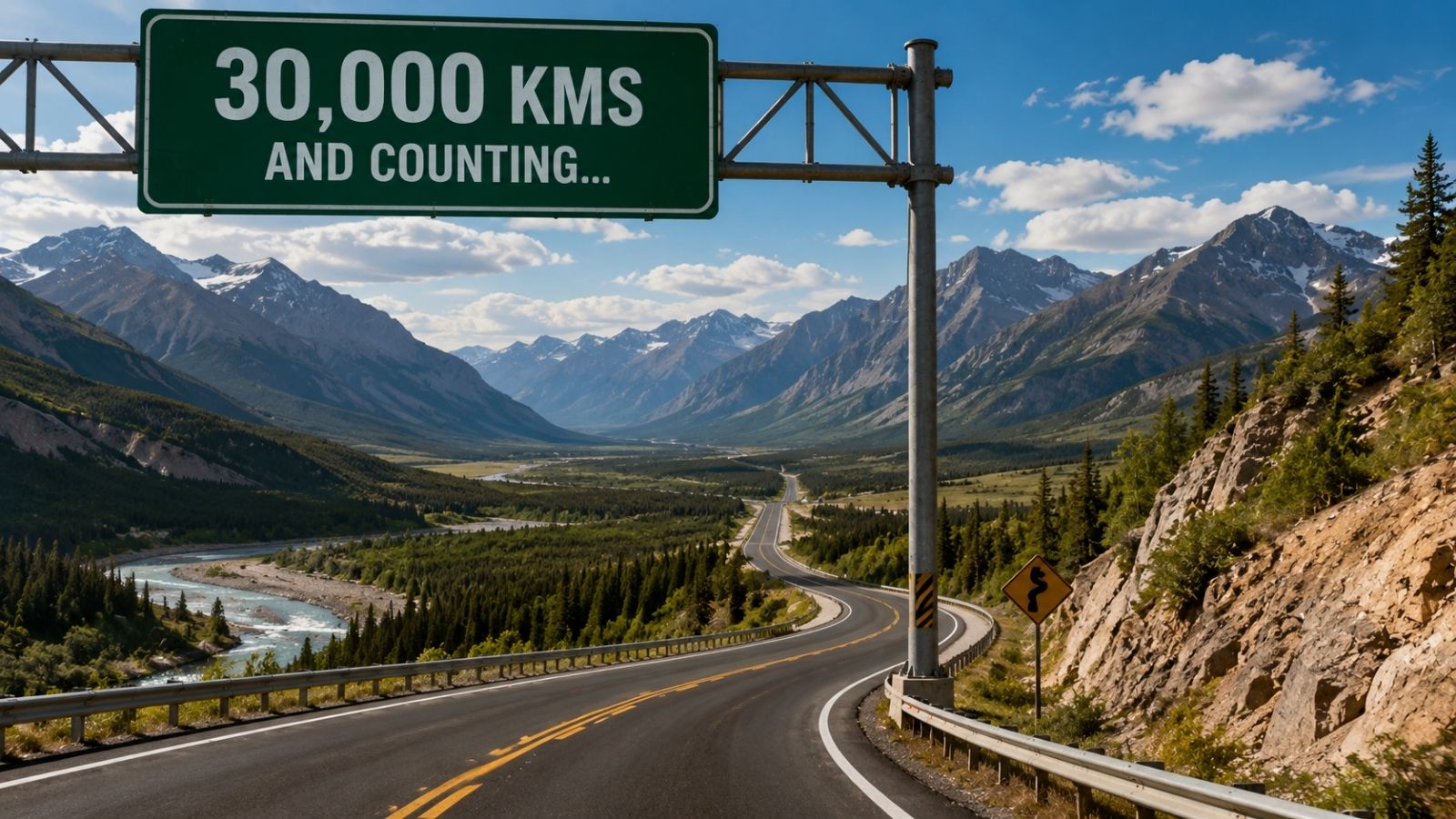
Spanning 30,000 km and beyond across continents, the world’s longest highways are rarely single, unified engineering feats. Most are stitched-together chains of national roads, provincial arteries, and legacy tracks linked by diplomatic ambition rather than continuous design. The routes they follow trace fault lines of geography and governance, hugging coastlines, skirting mountain ranges, threading river valleys, and stalling at borders where budgets run dry. Calling them one road makes for tidy headlines. Treating them as one system invites failure.
I have spent decades tracking freight corridors, public works budgets, and cross-border logistics across multiple continents. Every time a new map trumpets a 30,000 km super-corridor, the same pattern repeats. A ministry pins a fresh route number onto existing asphalt, a committee drafts a celebratory charter, and the physical reality on the ground remains a patchwork of mismatched lane widths, uneven load ratings, and orphaned maintenance zones.
The Myth of the Continuous Ribbon
Look at a continental route map and you see a clean line running from one hemisphere or coastline to another. Drive or haul freight along that line and the illusion collapses fast.
True continuous highways require uniform geometric standards, predictable drainage, standardized signage, and coordinated resurfacing schedules. Long-distance corridors almost never meet that bar from end to end. Instead, they grow through accretion. A colonial-era cart track becomes a rural highway. A mid-century national defense route absorbs it. Decades later, an international working group draws a dashed line connecting it to neighboring networks so policymakers can claim a transcontinental link.
Consider what happens to pavement design along a route of that scale. One stretch may have been built in the late twentieth century for light passenger cars and modest regional trucks. Fifty miles down the line, a newer segment carries heavy multi-axle freight rigs at high speeds. Where those two regimes meet, transitions rarely get engineered with long-term fatigue in mind. Joints step, shoulders crumble, and water finds every micro-fracture.
Naming a route does not pour concrete. Nor does an international treaty compact soil. Yet analysts and travel writers routinely treat grand route designations as finished infrastructure, obscuring the fact that continuity on paper often masks deep fragmentation beneath the tires.
How Terrain Dictates Every Detour
Straight lines look rational in boardrooms. On earth, gravity and geology veto them.
The routes followed by the world’s longest highways are negotiations with obstacles that refuse to move. A corridor bends around a peat bog because draining it would swallow years of capital without guaranteeing a stable sub-base. It climbs a switchback grade because blasting a straight tunnel through fractured rock would bankrupt a regional treasury. It hugs a coastline because inland ranges offer no viable pass for hundreds of miles.
Permafrost and Shifting Foundations
In high latitudes, frozen ground behaves like a conditional ally. Engineers design embankments to keep permafrost intact, using thick gravel pads and thermal barriers so heat from roadbed activity does not thaw the ice below. When temperatures warm or surface drainage shifts, that balance tips. The ground settles unevenly. A road that looked straight during a winter survey develops rolling waves by summer, forcing speed restrictions and constant re-grading.
Bottlenecks Where Mountains Meet Water
Where steep ranges drop straight into seas or major river basins, corridors funnel into narrow shelves. A single landslide, washout, or rockfall can sever thousands of kilometers of supposed connectivity overnight. Detours do not exist in those pinch points; the nearest alternate crossing may sit hundreds of miles inland across trackless terrain.
Even when engineers conquer a terrain barrier with a bridge or viaduct, the corridor’s weakest link often shifts to the approach roads. A modern span can carry heavy loads for generations while the two-lane approach feeding it chokes on seasonal traffic and frost heaves.
Who Pays When the Ribbon Crosses Borders
Infrastructure is financed locally even when its benefits are marketed globally. That mismatch sits at the heart of why longest highways struggle.
A county road department in a sparsely populated district collects property and fuel taxes from a tiny resident base. If a continental route runs right down its main street or across its river valley, heavy long-haul trucks pound that pavement every day. The local agency gets the wear and tear. Distant capitals or neighboring economies capture much of the trade value.
Central governments try to bridge the gap with grants, matching funds, or bilateral agreements. Those mechanisms help build initial links, yet maintenance is where money goes to die. Ribbon-cutting ceremonies attract ministers and cameras. Replacing worn bridge bearings, clearing silted culverts, and milling rutted asphalt ten years later attract nobody.
Tolling and concession contracts are frequently pitched as a way out. In dense corridors with steady daily commuter and freight volume, private operators can raise capital, build to high standards, and recover costs through user fees. Along vast stretches of the world’s longest highways, traffic density is far too thin for private concession math to work. Tolls either scare off the sparse traffic that exists or fail to cover basic upkeep, pushing the asset right back onto reluctant public books.
Freight Economics Versus Traveler Romance
Popular coverage loves the romance of the open road across tens of thousands of kilometers. Commercial operators see a ledger full of friction.
For a logistics manager, a 30,000 km corridor is not an adventure. It is a chain of cost variables. Every change in axle-weight regulation forces load adjustments. Every border checkpoint introduces inspection queues, paperwork mismatches, and idle fuel burn. Every stretch of rough surface accelerates suspension wear, tire shredding, and driver fatigue.
To see how these pressures compound, consider a hypothetical example. Suppose a mid-sized agricultural shipper moves palletized grain along a multi-country highway corridor stretching across thousands of kilometers. On the first leg, national rules allow a higher gross vehicle weight, so the dispatcher loads near the ceiling. At the next border, permissible axle weights drop, forcing the operator either to split the load onto a second truck—wiping out margin—or under-fill the trailer for the entire trip. Add a seasonal road restriction during spring thaw, a currency swing on fuel purchases, and a two-day customs hold, and the supposed efficiency of a continuous highway evaporates.
That gap between route maps and operating reality explains why much long-distance freight still relies on maritime shipping, rail hubs, or short-haul regional transfers rather than end-to-end truck runs. Highways excel at flexible distribution over moderate distances. Stretching them across continents turns flexibility into administrative and mechanical drag.
Unpaved Gaps, Missing Links, and Political Theater
Ask whether the world’s longest highways are finished and you get an answer that depends on who is speaking.
On official charts, gaps often appear as "planned," "under study," or "subject to bilateral coordination." On the ground, those gaps can mean hundreds of kilometers of gravel, washboard dirt, seasonal ice crossings, or ferry bottlenecks with schedules dictated by weather and mechanical reliability.
Why do missing links persist for decades? Because completing the hardest ten percent of a continental route costs disproportionately more than paving the easy ninety percent. Flat plains near existing towns are cheap to grade and surface. High passes, floodplains, and remote frontiers require specialized crews, long supply lines for aggregate, and years of environmental and land-tenure wrangling.
Meanwhile, announcing a grand route costs almost nothing. Maps are free. Memoranda of understanding require only pens and press releases. Politicians can claim credit for vision without committing multi-decade budgets to unglamorous earthworks. Over time, the gap between the advertised corridor and the drivable reality becomes an accepted fixture of the map.
Rethinking What a Mega-Corridor Actually Needs
If policymakers and industry leaders want the world’s longest highways to function as reliable arteries rather than aspirational lines, they have to stop treating length as a trophy.
Standardize maintenance triggers before adding mileage. A corridor is only as capable as its worst fifty-mile stretch. Funding formulas should tie new route designations to binding pavement-condition thresholds and dedicated resurfacing reserves.
Prioritize drainage and subgrade resilience over cosmetic widening. Extra lanes fail fast if water saturates the base. Culverts, ditches, and embankment protection keep roads alive longer than extra striping.
Harmonize operational rules along existing corridors. Uniform weight limits, mutual recognition of safety inspections, and streamlined customs clearance can unlock more freight capacity than pouring new asphalt in remote terrain.
Separate symbolic routes from freight corridors. Tourism and national branding have legitimate value, but lumping scenic or political routes into freight planning distorts capital allocation. Let scenic routes be scenic, and concentrate heavy-duty investment where actual cargo volumes justify the steel and stone.
Stop measuring a highway by how many tens of thousands of kilometers its name spans on a wall map. Measure it by whether a loaded truck can cross it without breaking an axle, losing a week at a border, or waiting on a budget that never arrives.